Yellowstone and the Tetons
Spring Gallery
Summer Gallery
Wildlife Viewing
Wildlife Viewing


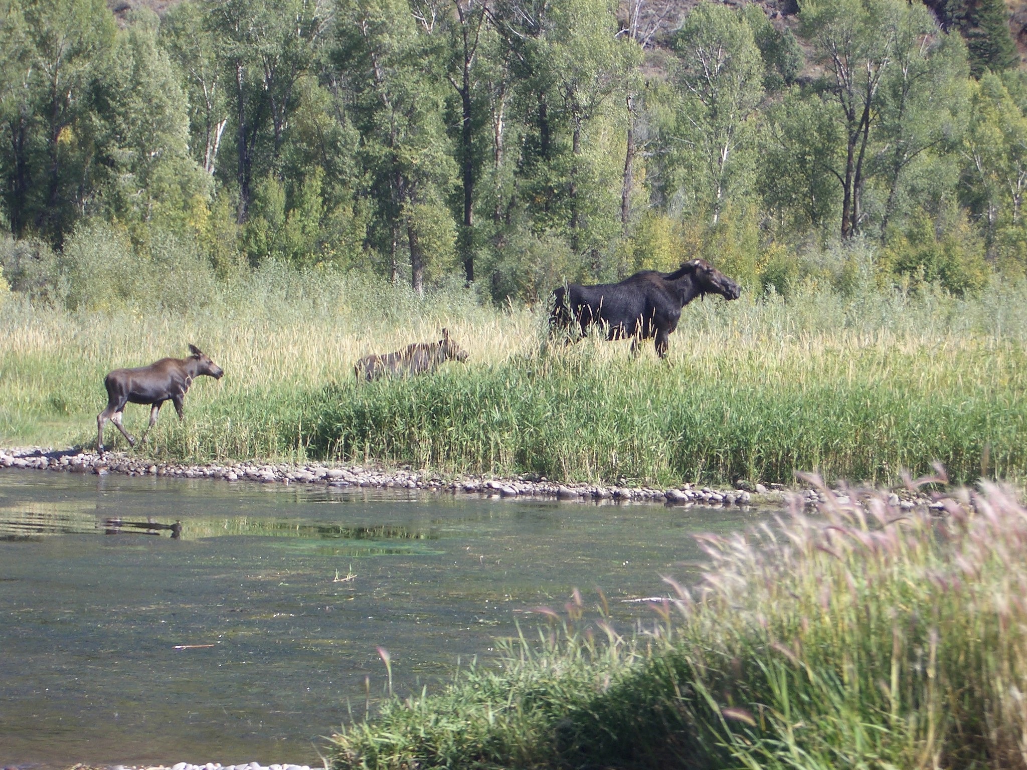
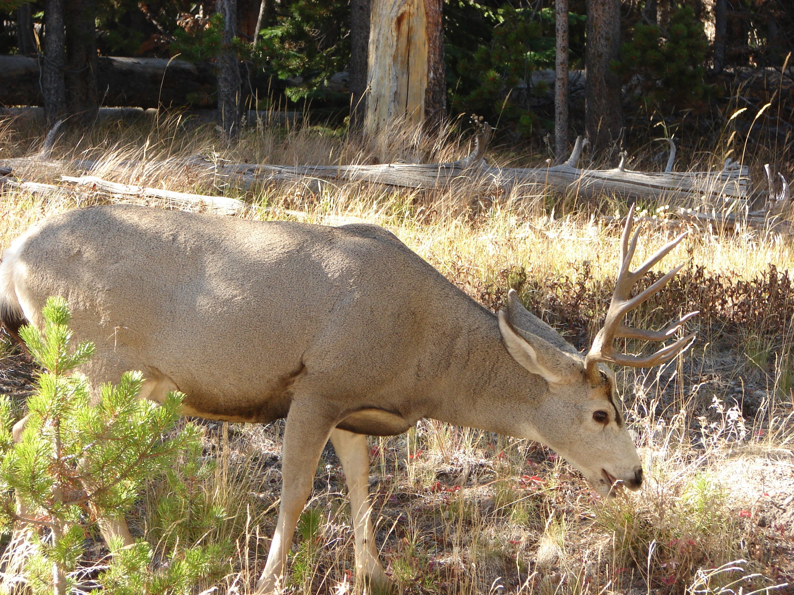
Swan Valley is part of the greater Yellowstone ecosystem and home to the largest elk and Rocky Mountain big horn sheep herds in the country as well as white tail and mule deer, moose, bear, mountain lions, mountain goats, fox, wild turkeys, swans, cranes, bald eagles, osprey blue heron, several species of ducks, geese, and songbirds. The area is truly a shutterbug’s delight with the spectacular scenery and possibility of wildlife photography. Moose are often seen from Highway 26 or River Road along the South Fork river bottoms. Elk are prevalent around the Palisades Reservoir, and there is an elk winter feeding just outside nearby Alpine, Wyoming. Be sure to bring a set of binoculars and get up close to nature.
Trail Rides
Trail Rides

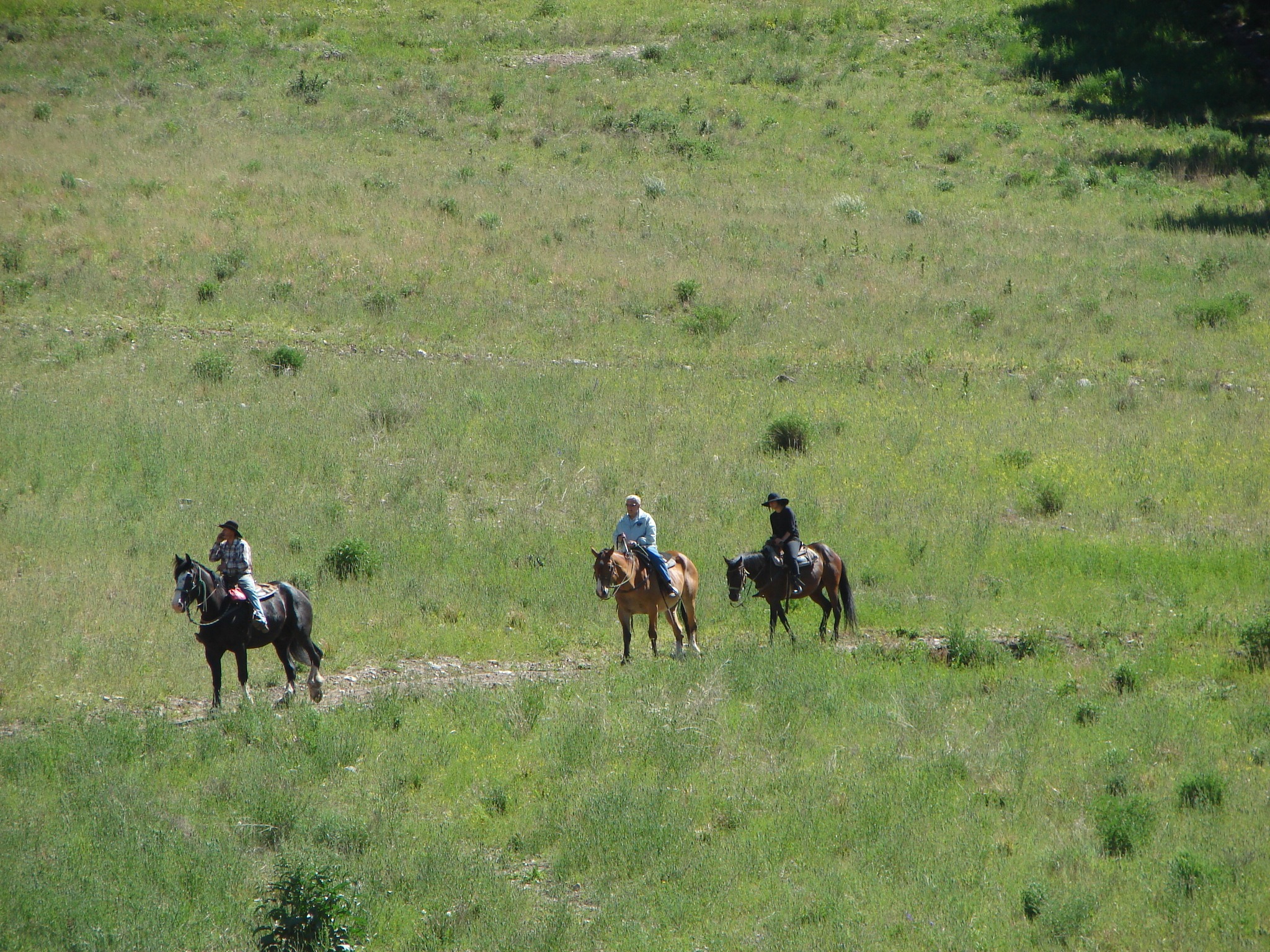
Visitors interested in trail rides have the rare opportunity to experience the high mountain views surrounding Swan Valley as few others do. Two local outfitters offers excursions with the most experienced guides in the region.
Contacts
Hiking
Hiking

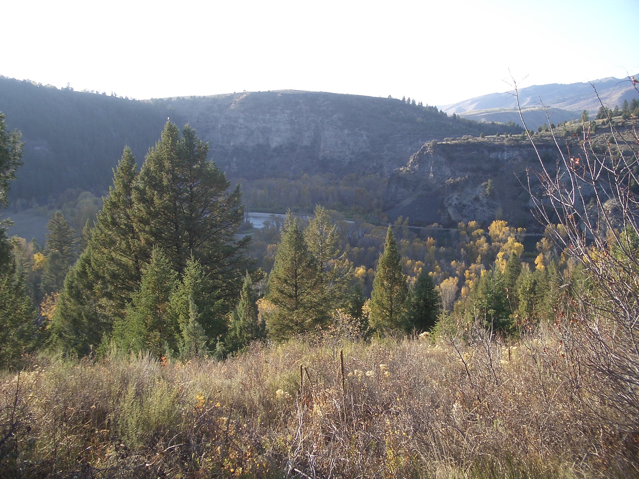
The Swan Valley area has dozens of hiking trails up picturesque canyons and along rippling mountain streams. One of the most popular hiking trails in Eastern Idaho is the Palisades Creek Trail, which begins at the Palisades Creek Campground off Highway 26. The six-mile trail is in good condition for both hiking and trail rides and leads to the scenic Palisades Upper and Lower Lakes. The larger Upper Lake is two miles above the Lower Lake and is set in a spectacular mountain valley, providing an ideal camping spot. Both lakes are stocked with native Cutthroat trout. Wildlife viewing along the trail is a very likely possibility.
Lake Recreation
Lake Recreation


Palisades Reservoir
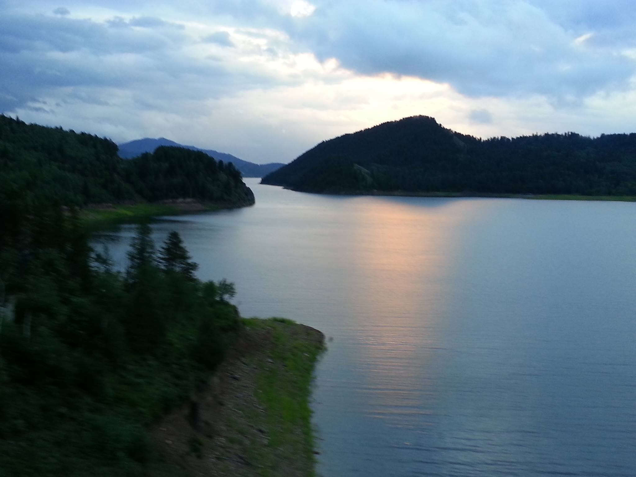
Palisades Reservoir is formed by Palisades Dam on the South Fork of the Snake River and lies at the East end of Swan Valley off Highway 26. The 16,100- acre reservoir has 70 miles of shoreline and nine overnight camping sites. Palisades is not only a popular site for year-round lake anglers, from summer boating to winter ice fishing. Palisades’ fish species include Cutthroat and Brown trout, Kokanee, and Mackinaw. The lake trout is a sought after fish as Palisades is one of the few lakes in Idaho that contain this deep water predator. Most of the Mackinaw are caught in the winter as lake trout like cold water (50 deg.) and are closer to the surface in the winter. Palisades Reservoir has a native population of Cutthroat trout, and Cutthroats are also stocked. Brown trout in the reservoir average 17 inches in length.
The scenic reservoir, surrounded primarily by public land and stretching for 18 miles, is also an ideal lake for sailing, water skiing, jet skiing, and relaxing cruises.
Winter Recreation
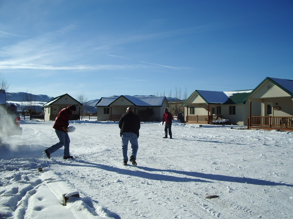

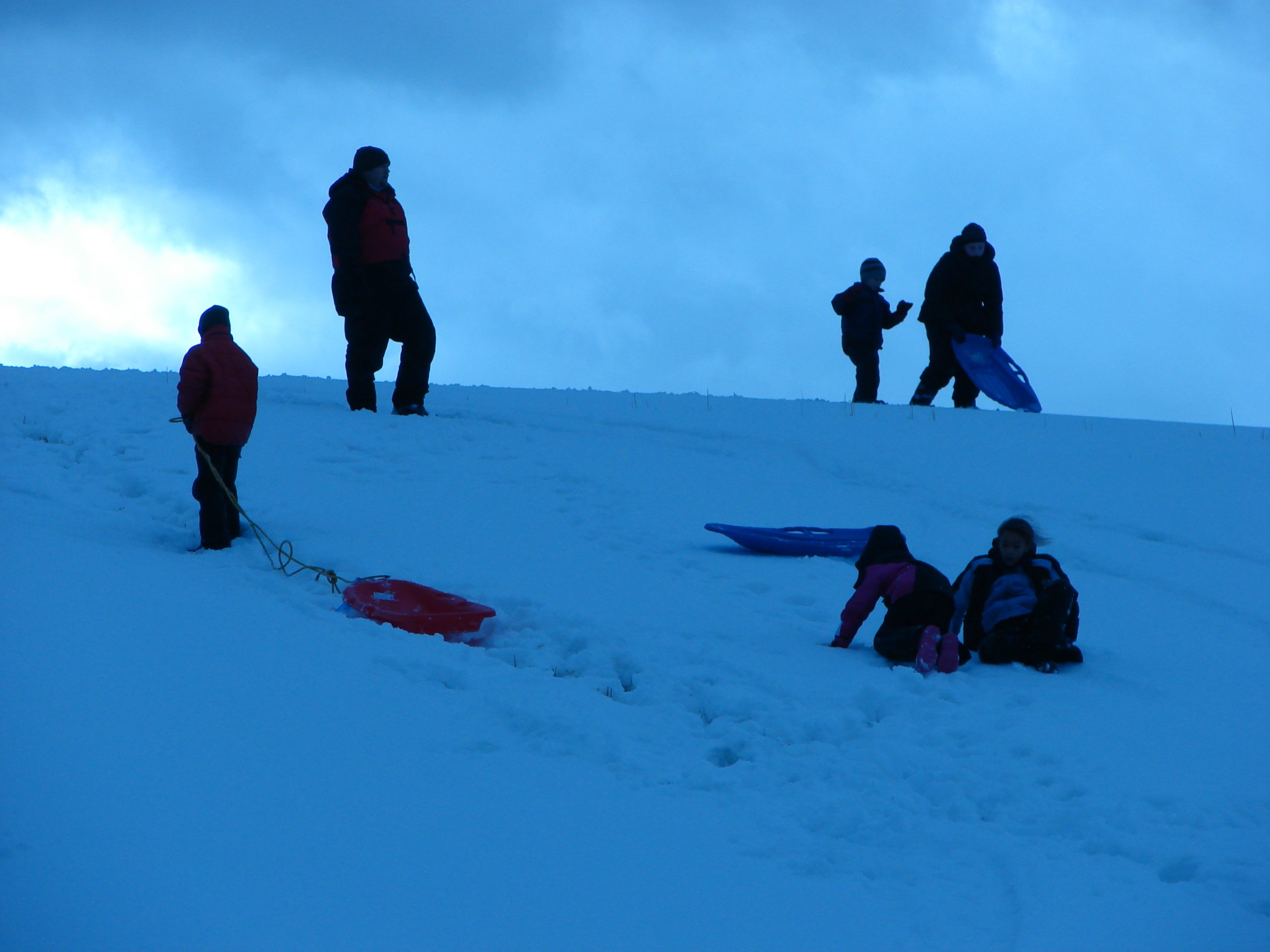
Swan Valley has over 400 miles of groomed snowmobile trails yet remains a virtual unknown playground for winter recreation. Two primary accesses to the snowmobile trail system, which takes riders to the upper reaches of Bonneville and Bingham Counties are Fall Creek on the West end of the valley on Snake River Road at the Swan Valley Bridge and the Palisades Dam access at the East end. Both access are just off Highway 26. The pristine trail system is home to trumpeter swans, sand hill cranes, moose, elk, white tail and mule deer, osprey, and bald eagles.
Although the trails are groomed, conditions can change quickly. For trail conditions, call Bonneville County Parks and Recreation at 208-538-7285.
Snake River Road Trail
The Snake River Road Trail runs 10.3 miles to eventually cross Calamity Point to the Palisades Dam trail head. From Calamity Point, riders can continue in a Southeast direction past the Calamity Guard Station and onto Bear Creek Road, which is a fair groomed trail. The 15.4-mile trail from Calamity Point to McCoy Creek Road, however, changes from a fair groomed trail to a “run at your own risk” trail at the intersection of Bear Creek Road and Jensen Creek Road. This segment that runs through Jensen Meadow and along Jensen Creek until it intersects McCoy Creek Road is to the West of Poker Peak and the Palisades Reservoir.
McCoy Creed Road
Upon reaching McCoy Creek Road, riders can bear to the left and continue along the reservoir and down to the Alpine, WY parking lot (11.4 miles) or head West up McCoy Creek Road for 9.1 miles to the trail head at Keenan City.
Along the way to Keenan City, riders will pass the Bald Mountain and Caribou Basin Guard Stations and Old Baldy Peak to the South.
The junction at Keenan City provides an opportunity to head Northwest on Brockman Road for 8.8 miles to the trail head that leads to Mann Road and Sawmill Canyon Road.
Dan Creek Road, King Creek, Castle Rock and Lava Creek are just a few points of interest and trails that can be accessed at that intersection, all of which are on good groomed trails.
The final 10.3 miles of Dan Creek Road that leads to Fall Creek Road as well as the 6.6 miles of Skyline Ridge Road that intersects at the Lava Creek trail head, and also leads to Fall Creek Road, both are fair groomed trails.
Grays Lake
If riders chose to bypass Brockman Road at Keenan City and continue southwest, a good groomed trail leads to Grays Lake between the Herman trail head and the other Brockman Road junction. Another trail head 1.7 miles up the road forks off to Cranes Flat Road and Southwest for 12.1 miles to the Paradise Road trail head and a 5 mile loop around Blackfoot Reservoir.
At the Paradise Road trail head, riders can access Blackfoot Reservoir Road, and 17.9 miles later, along a good groomed trail, eventually find themselves at the Bone Store. Heading North along Blackfoot Reservoir Road from the reservoir for 11.8 miles brings riders to the trail head at the intersection of Cellars Creek Road where a left turn and a westerly heading for 18.8 miles puts a sled in the Wolverine parking lot.
Taking the other fork in the road at Cranes Flat Road trail head puts riders on Long Valley Road for 14.6 miles of a good groomed trail. At the Horse Creek trail head, riders have a variety of choices that range from continuing West toward Wolverine; heading Northwest to the Bone Store, or bearing Northeast past Pine Mountain and King Creek for 7.1 miles to a quaint warming hut at the Grays trail head, approximately 15 miles Northwest of Grays Lake.
At the hut, working Northwest leads to Dan Creek Road and on to Kepps Crossing Road where a right turn at that intersection heads sleds back to Fall Creek Road.
Skyline Ridge Road
Traveling Southeast at the hut works riders back to the Lava Creek and Sawmill Canyon Road intersection, and a 2.7 mile ride down Lava Creek intersects with Skyline Ridge Road and 6.6 miles of a fair groomed trail that again leads to the trail head of Kepps Crossing Road and Fall Creek Road where a right turn puts riders 13.8 miles from the Fall Creek parking lot.
For those who want to forego the ride along the Snake River Road and climb westerly along Fall Creek Road, the first 13.8 miles are a good groomed trail.
The trail head at that point permits a left turn onto a fair groomed trail on Skyline Ridge Road for 6.6 miles to the good groomed trail at Lava Creek trail head or bearing to the right (northwesterly) on Kepps Crossing Road for 15.4 miles on a fair groomed trail.
The Dan Creek Road trail head is 6.3 miles from the Skyline Ridge Road trail head, and riders need to realize that all of Dan Creek Road and Kepps Crossing Road and the first 6.6 miles of Skyline Ridge Road from this western access only are fair groomed trails.
Palisades Dam Trial Head
Departing from Palisades Dam trail head allows riders to head across the dam and then Northwest along the Snake River Road or to venture Southeast along Bear Creek Road and down to Alpine, WY or up McCoy Creek Road and on to Blackfoot Reservoir, Wolverine or a variety of other destinations.
Regardless of point of departure or destination, remember that trails can change status in a matter of minutes, so local inquiry for the latest conditions is very important. For trail information, call 208-538-7285.
Also, make sure friends and family are aware of your sledding destination and expected time of return, and while snowmobiling, observe all safety precautions, and, lastly, always snowmobile with another person.
Printed maps are available at Sleepy J Cabins
Fly Fishing


Blue Ribbon Fly Fishing on the South fork of the Snake
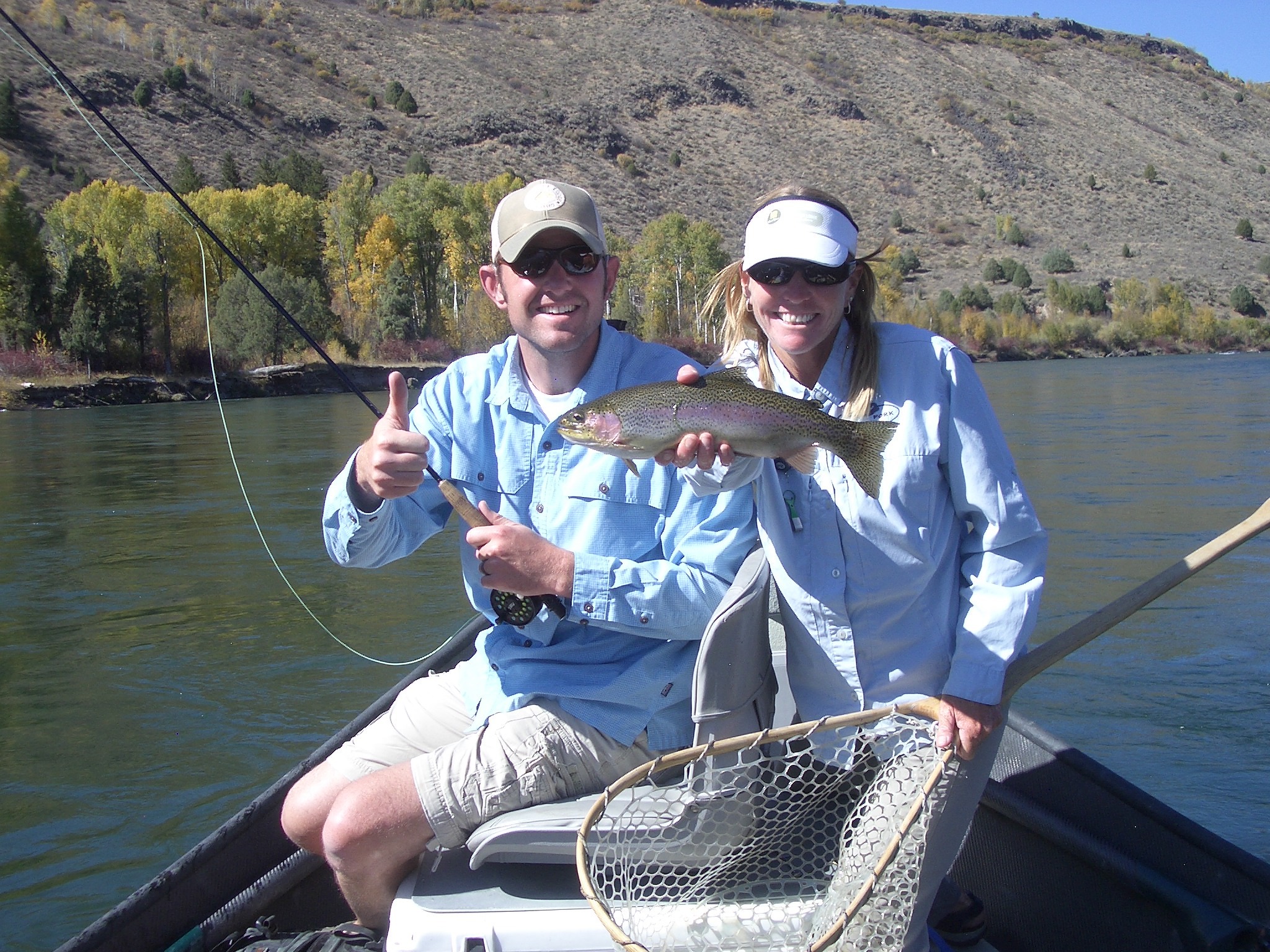
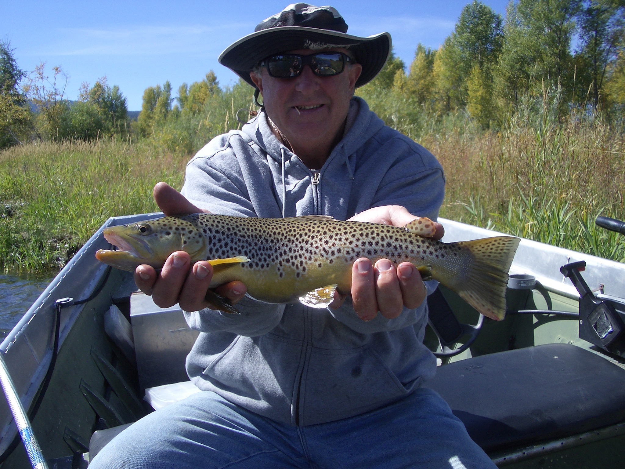
The Swan Valley area is best known for the year-round, premier fly fishing on the South Fork of the Snake River. Anglers can fish year-round for Rainbow, German Browns, and native Cutthroats. From Palisades Dam to the Henry’s Fork confluence, anglers can navigate almost 66 miles of water in pristine setting, casting to deep pools, slick runs and riffles along the many islands and channels.
The South Fork also offers a great experience for rafting, canoeing and kayaking. Wildlife along the river is abundant with populations of great blue herons, Canadian geese, bald eagles, and osprey. Moose are regularly seen in the river bottom as well as white tail deer, many varieties of ducks, otters, beavers, and songbirds. The South Fork is considered to be Idaho’s number one unique wildlife ecosystem.
The boat accesses include Byington Boat Access east of Ririe; Conant Valley and Spring Creek, near the Swan Valley Bridge; Cottonwood Landing, Irwin Acccess, Menan Bridge, Twin Bridges Park, Wolf Flat, and the Dam at Palisades Reservoirs. The Dam, Spring Creek and Twin Bridges offer camping.
Sections of the South Fork
The Upper Stretch from the Palisades Dam to the Conant Valley Access is approximately 18 miles and offers the angler deep pools, side channels, and gravel bars. Access to this section off of Highway 26 is available just below the dam, in Irwin at the Sportsmen’s Access and at the Swan Valley Bridge (Spring Creek Access).
For wade fishermen, river access is fairly easy near the Swan Valley Bridge, either off of Highway 26 on one side or River Road on other other.
The Canyon section of the river runs from the Conant Valley access to the Byington access through volcanic cliffs and a cottonwood forest river bottom, home to the largest bald eagle winter roost in the Northern Rockies. Access is limited to this stretch, but floaters will find a few side channels for wade fishing. Many anglers camp overnight on this stretch. Permits and information are available at the Conant Valley access.
Knowledge of this stretch of the river is essential due to the swift currents and irrigation diversion dams.
The lower section of the South Fork runs from Byington to Menan and is the most technical section of the river. Runoff debris, logjams and numerous side channels impose hazards to those unfamiliar with this section.

